Welcome to Scripture Central
Scripture Central builds enduring faith in Jesus Christ by illuminating the Book of Mormon and other restoration scripture.
What's New

Enoch’s Anointing
Evidence #502

How Did the Joseph Smith Translation Serve as a Springboard for Many Revelations?
KnoWhy #800
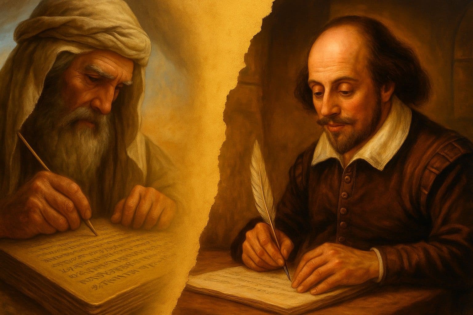
Lehi and Shakespeare
Evidence #501

Scripture Central
D&C 81-83 I Early Saints & the Book of Mormon I Come Follow Church History with Lynne Hilton Wilson
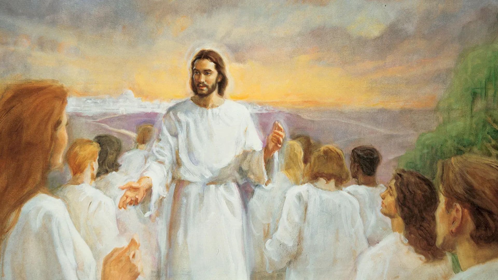
Why Is Joseph’s Vision of the Three Kingdoms so Important?
KnoWhy #799

Scripture Central
Codenames & Early Business Ventures | Church History Matters with Scott & Casey | July 14-20

Scripture Central
Early Saints Respond to the Plan of Salvation with Matt McBride | Church History Matters | July 7-13

Scripture Central
D&C 77 I Keys to the Book of Revelation I Come Follow Church History with Lynne Hilton Wilson

Let's Get Real with Stephen Jones
Latter-day Saint Anxiety Expert: Why Church Members Still Feel Unworthy | Dr. Kawika Allen E0036
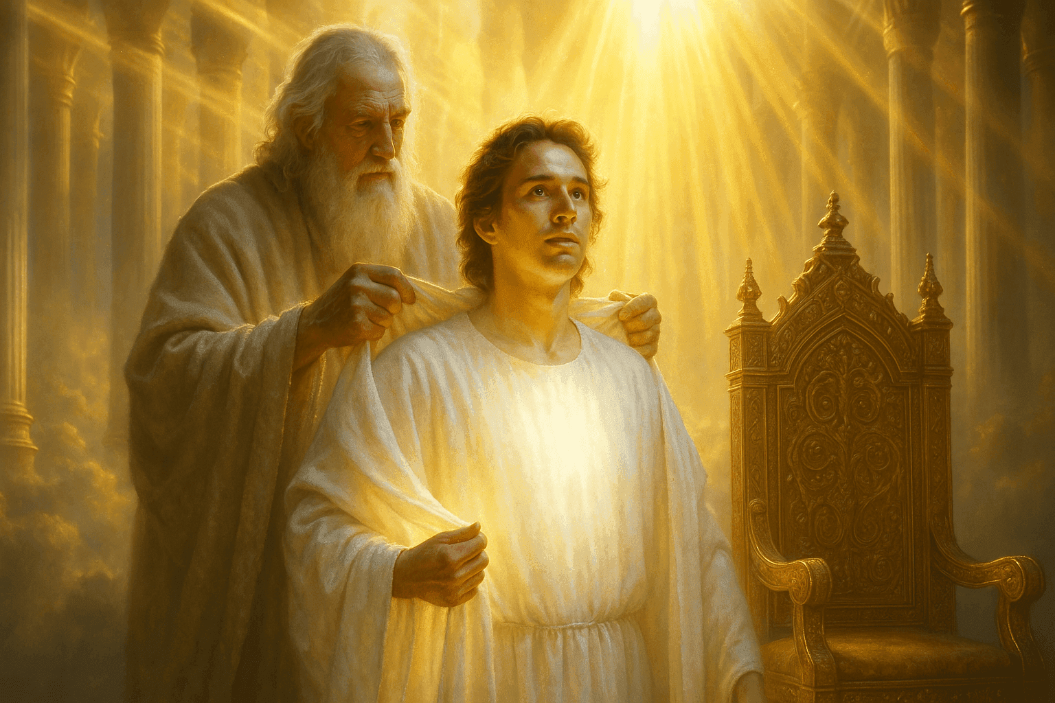
Enoch Clothed with Glory
Evidence #500
This Week's Come, Follow Me Resources

Doctrine and Covenants 76
"Great Shall Be Their Rewards and Eternal Shall Be Their Glory"
July 10 - July 10


ScripturePlus App

Enhance your study of the scriptures with the latest version of the ScripturePlus app. Keep track of your progress, with our reading plans. Access our library of resources, as you study.